Written yesterday, but no connection to post, so a day late.
Future posts may also be delayed as I get to more places with limited WiFi.
Today started off fine. I woke up, a bit confused why it was so dark but then remembered my watch is still set to Eastern Time. That was only part of it. Anyone who has spent much time travelling even with a time zone will soon realize that the sun rises earlier on the eastern edge and rises later on the western edge. Conversely sunset is reversed. So not only was I one time zone off, I was rather west in it anyway. I stayed at the Texas Welcome Center along I-40. Most states have their welcome center within a few miles of the border. Not Texas, it’s in Amarillo, about halfway through the state. I suppose that way they only have to build one. That said, it was pretty decent.
I got off an early start and hit the border of New Mexico fairly early. I stopped at their welcome center which is literally right next to the border. However, since I was off to an early start, I decided to get of at Exit 0 in Texas. No, that’s not a typo. It’s right on the border and in fact the merge ramp ends within yards of the New Mexico border. I guess I was going nowhere. (To quote Harry Chapin, “anywhere is a better place to be.”)
Soon after that though the trip hit a snag. My check-engine light came on. Fortunately in my experience with Subarus it’s almost always an O2 sensor so I wasn’t worried. I got off at the next exit with a large enough town and waited for O’Reilly’s Auto Parts to open so I could borrow their OBD2 reader (foolishly I didn’t bring one with me). Sure enough, O2 sensor readings. They claim they can’t clear the codes with theirs so I nursed it until a large town outside of Albuquerque where there was a Walmart. There I picked up a decent reader, reset the sensors and I was off. I also got some Cataclean, I product I’ve had some success with. I used it down the road when my tank was empty enough. So that problem solved.
At this point between my stops and a few “for fun” detours checking out where some frontage roads went (two dead ended, one rejoined the Interstage) I was a bit behind schedule so decided to make for Chaco Canyon National Historical Park. This was probably the first place I visited with my dad years ago. Back then we didn’t have Google. We had AAA Trip-Tiks.
Well, let me go on an aside about Google Maps. One reason I’m not a fan of online maps is because it’s hard to see the big picture, like statewide. This means it’s possible for the online map to take you a way you may want to know and you don’t realize it until too late. This happened to my wife recently in New Jersey (which seems to be particularly bad). Let’s just say in that case there was NO logical reason for Google Maps to suggest anything other than I-95. But it did.
Today, I had a similar problem and it led me to a bit of bad luck. I was following the directions when it suggested I turn off the main road I was on onto a side road. I figured this was a bit strange, but whatever. Well, I should have been thinking more about the speed limit because I got nabbed. Ayup. I suppose I can call it bad luck, but it’s my own damn fault for speeding, regardless of where the map sent me. That said, I’m not even sure if it’ll be a problem (other than the fine) because it was technically on Tribal Land. We’ll see.
But then the fun began. Google Maps continued to take me down slow backroads. I was very careful to follow the speed limit here, despite numerous cars passing me. That said, my general sense of direction was telling me, “this might be the shortest route, but is it the BEST route?” But as they say, in for a penny in for a pound.
So I was thinking right up until Google Maps told me to turn right onto a dirt road. Now, a saner, more cautious person would have continued straight until Google Maps could suggest another route. I am not that person.
Now to be fair, the Subaru of course has all-wheel drive, decent ground clearance, and while I can’t say I have lots of off-road experience, I’m pretty comfortable taking it along roads like this.
Let me just say… it was FUN… bombing along a dirt road in the desert, pausing for the one stray cow. Only a few spots had me worried because they had some rough rocks poking up, but managed those (admittedly I ended up skidding a bit over one rather than steering around.)
I will add too Google Maps said 6.3 miles of unpaved road. Google Maps is a big fat liar. It was about 12 miles.

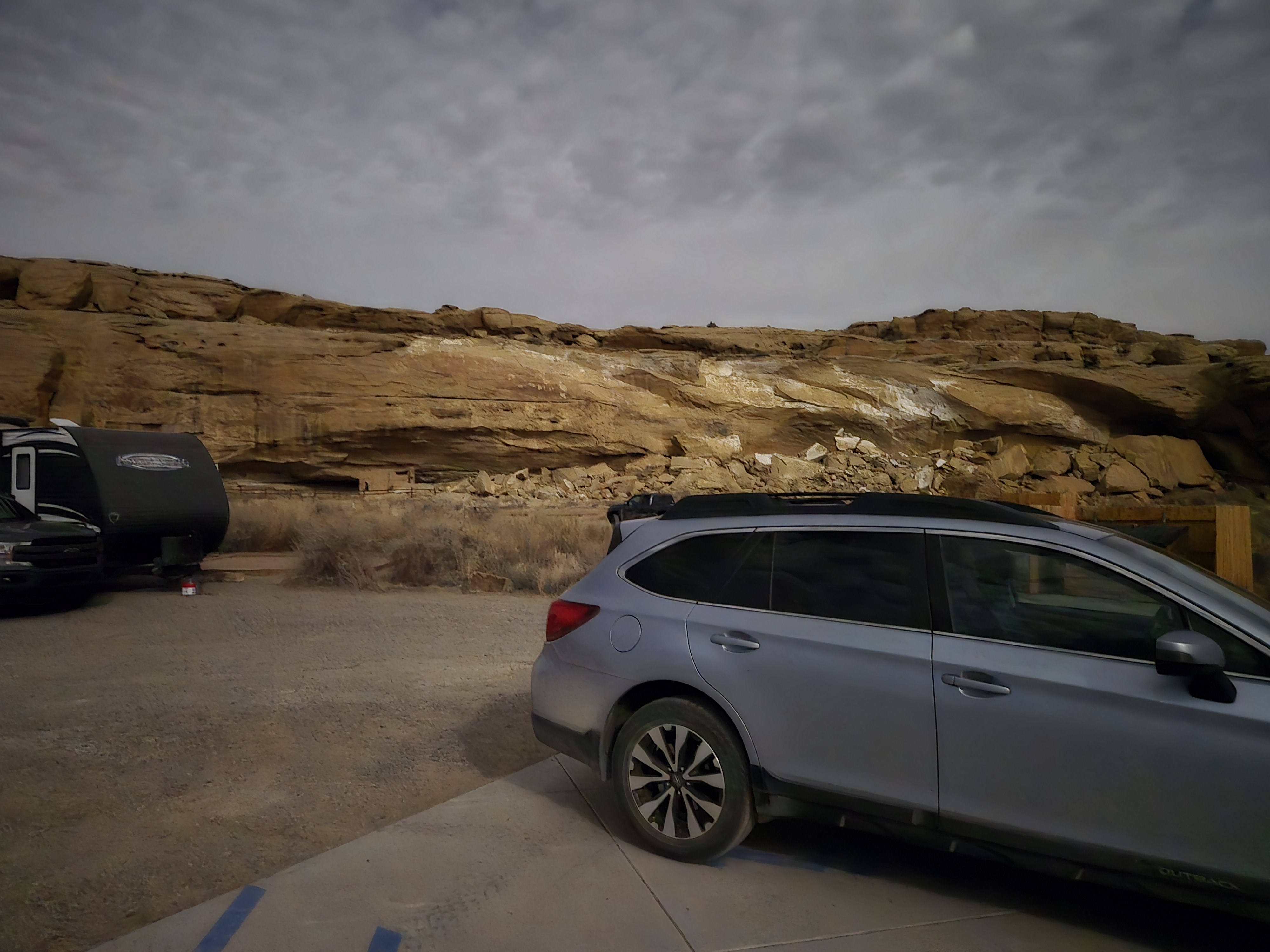
BUT, at the end was Chaco Canyon. So it worked. And I had fun.
As I drove in, I saw the sign I was dreading. “Campsite Full”. Actually that’s not entirely true. In the spirit of little planning, I hadn’t confirmed if there even was camping. (If there weren’t there were fallback plans). So I went into the Visitors Center to get a pass (got a season pass as I’m pretty sure it’ll be cheaper in the long run) and asked about nearby camping. He asked what I had. “A car, maybe a tent.” “Well if no-one shows up to take the Accessible spot by 4:00 PM, we release that to general camping.” I checked my watch and realized that was only 45 minutes away. So I filled some water bottles (that was the only thing that really had me nervous on the dirt road, if the car had issues I only had soda for hydration) and then went back inside, watched the 25 minute video on Chaco Canyon, wandered around a bit, setup to use their wifi and then, claimed the site. It does feel a bit weird using an Accessible site, but since they run on reservations followed by first-come, first-served, I assume they figure it’s better to rent it out than not.
After parking I did a short hike up to a viewpoint (where I did get some cell access for a bit) and then came back to my campsite, made a cold dinner of PB&J and set up the tent. I’m writing this in Word to later paste into WordPress because I have no service here.

In about 30 minutes I’ll join the Ranger led talk at the campfire and relax.
That’s the journey of today. I have more thoughts, but I think I’ll end up posting those as separate side posts.
One more thing to add, my new phone apparently does do great night shots with a full Moon